


Home
From Director's Desk
NATMO, a prestigious organisation towards nation building is witness of glorious past, prestigious present and promising future. But it is not exceptional without having its own struggles. There are some problem areas and challenges for this organisation too. To take off for a completely new direction new dimensions has been explored with new initiatives. Motivating own people, understanding of the surrounding scenario and moving to a promising direction with the guidance of our fosterers surely make the future path easy for NATMO. With Innovation, implementation and improvisation, NATMO always try to make its path on the direction to cater the people of different stratum of our society. On various occasion NATMO has worked together with different agencies, with the supervision of experts from various fields to define its role in nation building.
On this special occasion, it’s my privilege to bring our past present and future together to a common platform to realize, visualize and materialize the mission and vision of the pioneer mapping Organization. NATMO has been creating awareness about the multi dimensional socio-economic sectors which help in planning and development of the nation. NATMO has the largest repository of spatial and non-spatial data processed with great accuracy. With changing times, NATMO also keeps pace with the latest technologies like GIS, GPS and remote sensing.
An Introduction
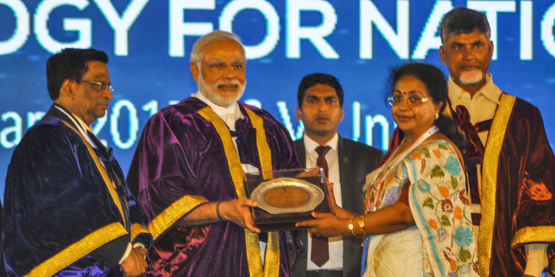
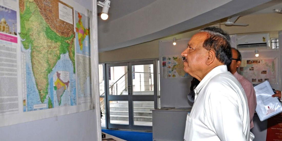
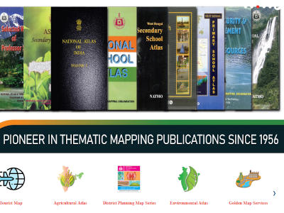
Headquartered in Kolkata, National Atlas and Thematic Mapping Organisation (NATMO) is a subordinate office under the Department of Science & Technology, Ministry of Science & Technology, Government of India. Pioneer in thematic mapping services since its inception in 1956, NATMO is the only agency of the country catering to the requirements of thematic maps and atlases for different sectors. NATMO is perhaps the largest mapping organisation in the world.
NATMO, initially known as the National Atlas Organisation (NAO), was set up in 1956 under the able leadership of Prof. Shiba Prasad Chattopadhyay, who is considered the doyen of Indian Geography. This organisation is an exceptional contribution by Prof. S.P. Chatterjee for Geography and Geographers of India. Prof. Chatterjee was a visionary. He was clear about the role of geographers in the domain of planning and development of the country. Prof. Chatterjee put forth these thoughts in public much ahead of India's independence. As an avid cartographer, he could convince the then Prime Minister of India, Pandit Jawaharlal Nehru, to sanction a project for compiling and publishing the first-ever 'National Atlas of India'. The newly formed team worked very hard to publish the first ever national atlas of India - Bharat Rashtriya Atlas (in Hindi) in a record time of nine months. It was a commendable achievement for a newly independent country and received much appreciation from a wide spectrum of users.
What's New
- Final Selection List for NATMO Internship Scheme 2026
The final selection list has been prepared as per the guidelines of Internship Scheme 2025 vide File...
- Final Selection List for NATMO Internship Scheme 2026
Internship Scheme 2025 vide File No. E-004200011(Trng)/4/2024-Trng Sec/1917 Dated 19th June, 2...
- Engagement of Consultants in the National Atlas & Thematic Mapping...
Applications are invited from retired government employees for engagement as consultants on contract...
- Engagement of Consultants in the National Atlas & Thematic Mapping...
Applications are invited from retired government employees for engagement as consultants on contract...
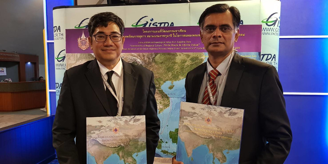
- 45th INCA (Indian National Cartographic Association) Focal theme on "Advances...
Organised by NATMO In association with Central University of South Bihar, Gaya from 21st to 23rd...
- Extension of Last date up to 02.08.2025 by 11:59 pm...
With reference to Web Circular vide F.No.E-003000006(Cont.)/1/2025-Estt/1843 dated 03.06.2025 regard...
- Applications are invited for engagement of Project Assistant/Technical Assistant for...
The Vacancy Circular no:E-005900001/2/2024-Dir/2017 dated 04.07.2025 regarding engagement of manpowe...
- Revised-Manpower emolument under various extramural projects
Revised Guidelines for engagement of manpower for Project Implementation and Emoluments under variou...
- Manpower emolument under various extramural projects
Office Memorandum File no:T-ExDp/1/2025-PES/1893 regarding guidelines of Project Implementation and ...


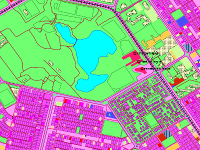
Our Location
Useful Links
Head Office
C.G.O. Complex (7th Floor) DF - Block,
Bidhannagar, Kolkata - 700 064.
Phone : 033 2334 - 5006, 2334 - 6460
Fax : 033 2334 - 6460
e-mail : dir.natmo@nic.in