इवेंट गैलरी
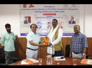
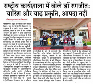
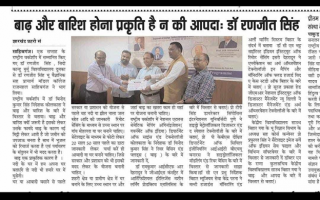
Officials of NATMO participated in a week-long workshop from 26 to 31 July, 2024.
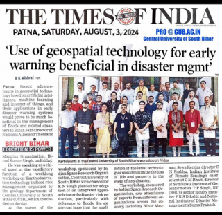
Officials of NATMO participated in a week-long workshop from 26 to 31 July, 2024 on ‘Earth Observation Technology in Flood Risk Assessment & Management with Special Reference to Bihar, India’ conducted by the Department of Geology, Central University of South Bihar (CUSB), Gaya sponsored by the ISRO Disaster Management Support (DMS) – Capacity Building Program. Experts from various organisations across the country like Bihar Mausam Sewa Kendra, Indian Institute of Remote Sensing, Symbiosis Institute of Geoinformatics, IIT (BHU) and faculties from the Department of Geology, CUSB conducted informative sessions along with hands-on training on the assessment and management of flood and other natural disasters with special focus on Bihar. The limited number of seats were fulfilled by professors, research scholars, central government officials and practitioners, who are mainly working with the geospatial technology.
Dr. Binod Kumar Singh, Director, National Atlas and Thematic Mapping Organisation (NATMO), Kolkata was the chief guest of the valedictory function, who highlighted the importance of recent advancements in geospatial technologies in early warning systems, assessment and management of flood and other natural disasters in Bihar and elsewhere in the country.


